We are nearing the end of our vacation in Austria, but there's still much to see and do. We started the day with a free gondola ride from the center of Saalbach Hinterglemm, taking advantage of the Joker card included in our accommodation package.
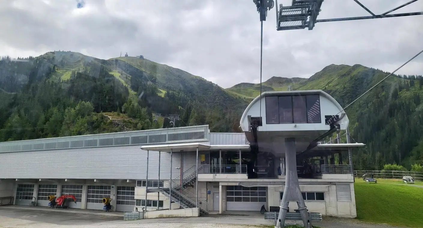
This day is shaping up to be beautiful, so we headed towards one of the most spectacular waterfalls in Europe, Krimml. There is a parking area, about 10-15 minutes away from the lowest part of the waterfall.
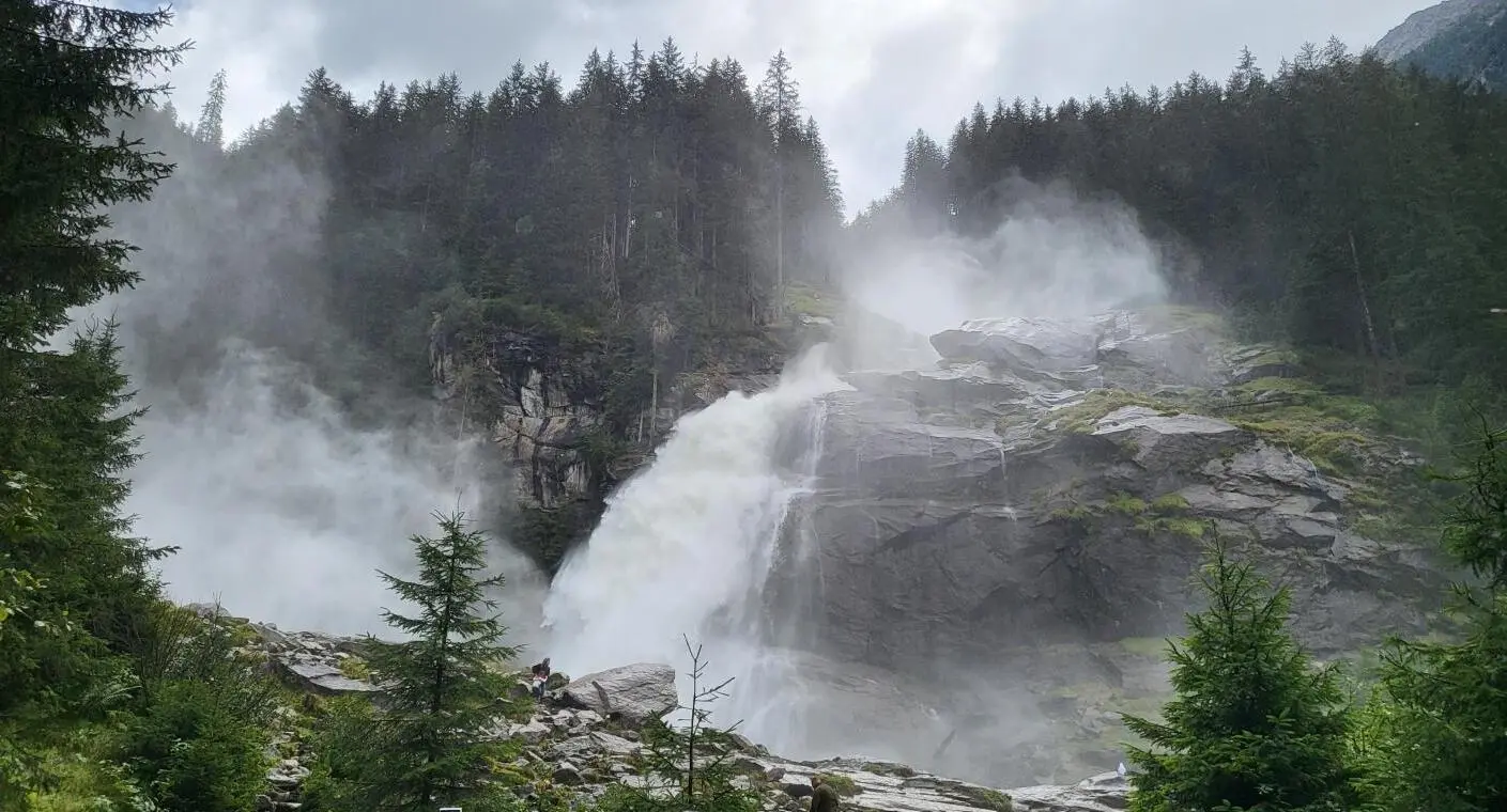
The waterfall has a total height of 380 meters and is actually comprised of three waterfalls: the highest one has a drop of 145 meters, the middle one 100 meters, and the lowest one, with two stages, drops 140 meters.
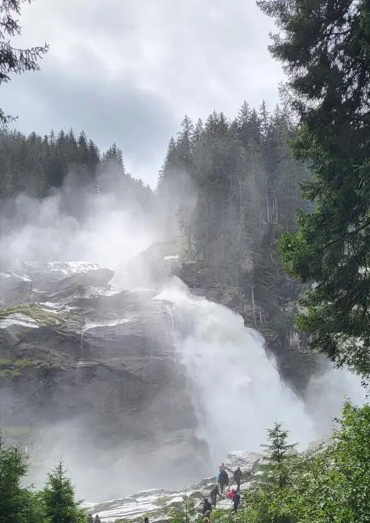
It is the largest in Austria and the fifth tallest waterfall in the world, offering a sensational spectacle: the water, after violently impacting the rocks, turns into very small particles, sprayed into the atmosphere in the form of white mist clouds. Inhaling water molecules, charged with negative ions, stimulates the immune system, and alleviates symptoms of allergies and asthma.
The falling water provides a spectacle unfolding before our eyes, with the noise it produces and the water droplets you feel on your face, even from a distance, enhancing the sensational experience. You must have a raincoat with you because no matter how much you try to avoid it, the aerosols "follow" you.
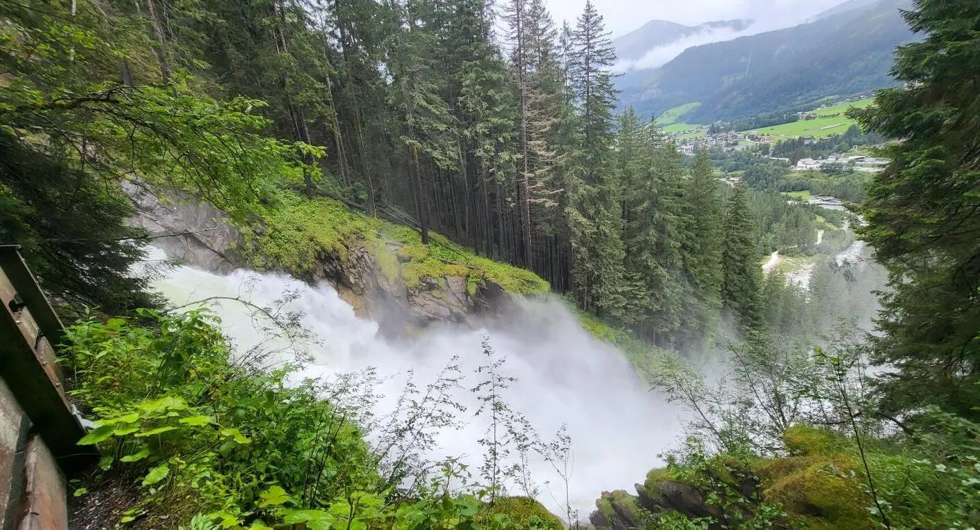
From the base of the waterfall, a winding trail begins that leads to the top, where you can reach after about 1 hour and 15 minutes of walking. The trail is well-maintained, having been built in 1835 by Ignaz von Kürsinger.
It spans approximately 4 kilometers and features numerous observation points and platforms from which tourists can enjoy the spectacle of the flowing water.
Each of these viewing points, equipped with wooden platforms and railings, is named after a personality who has contributed to the development of mountain tourism in Austria and to the construction of the trail alongside Krimml Waterfall.
In the last century, there were plans to build a dam or redirect the water to neighboring valleys, but a nature conservation association fought to prevent these actions, protecting the waterfall.
In 1958, the provincial government of Salzburg declared the Krimml Achental Valley a protected area, and three years later the waterfall was designated a "natural monument."
We climbed up to an altitude of 1306 meters, between the middle and upper waterfalls, where there is a hut and a restaurant, Gasthof Schönangerl, where you can enjoy a wide variety of nationally known Austrian dishes, such as Wiener Schnitzel, the delicious Kässpatzen, and Kaiserschmarrn, with or without raisins. Of course, delicious pizza, baked in an original-style oven, is also available.
Unfortunately, we did not continue the journey to the top, turning back instead, as time was running out and we still had much to see and do that day. The very nice weather made us want to experience the Grossglockner High Alpine Road, the highest mountain pass in Austria, at an altitude of 2500 meters, for which you pay about 40 euros (depending on the type of vehicle and the time of arrival) if you want to travel it.
Note also the visiting hours, as the road is closed at night, with the last entry 45 minutes before closing.
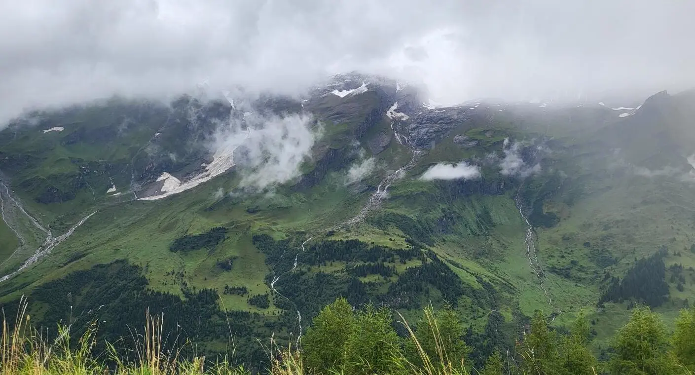
The road connects the state of Salzburg with the state of Carinthia and became famous starting from 1856 when Emperor Franz Josef and Empress Elisabeth (Sisi) ventured on this route.
The current road was completed in 1935, after five years of construction, with a total length of 48 kilometers, 36 hairpin bends, and 2 side roads leading to spectacular observation points, the Grossglockner peak (3798 m) and the longest glacier in the Eastern Alps, Pasterze.
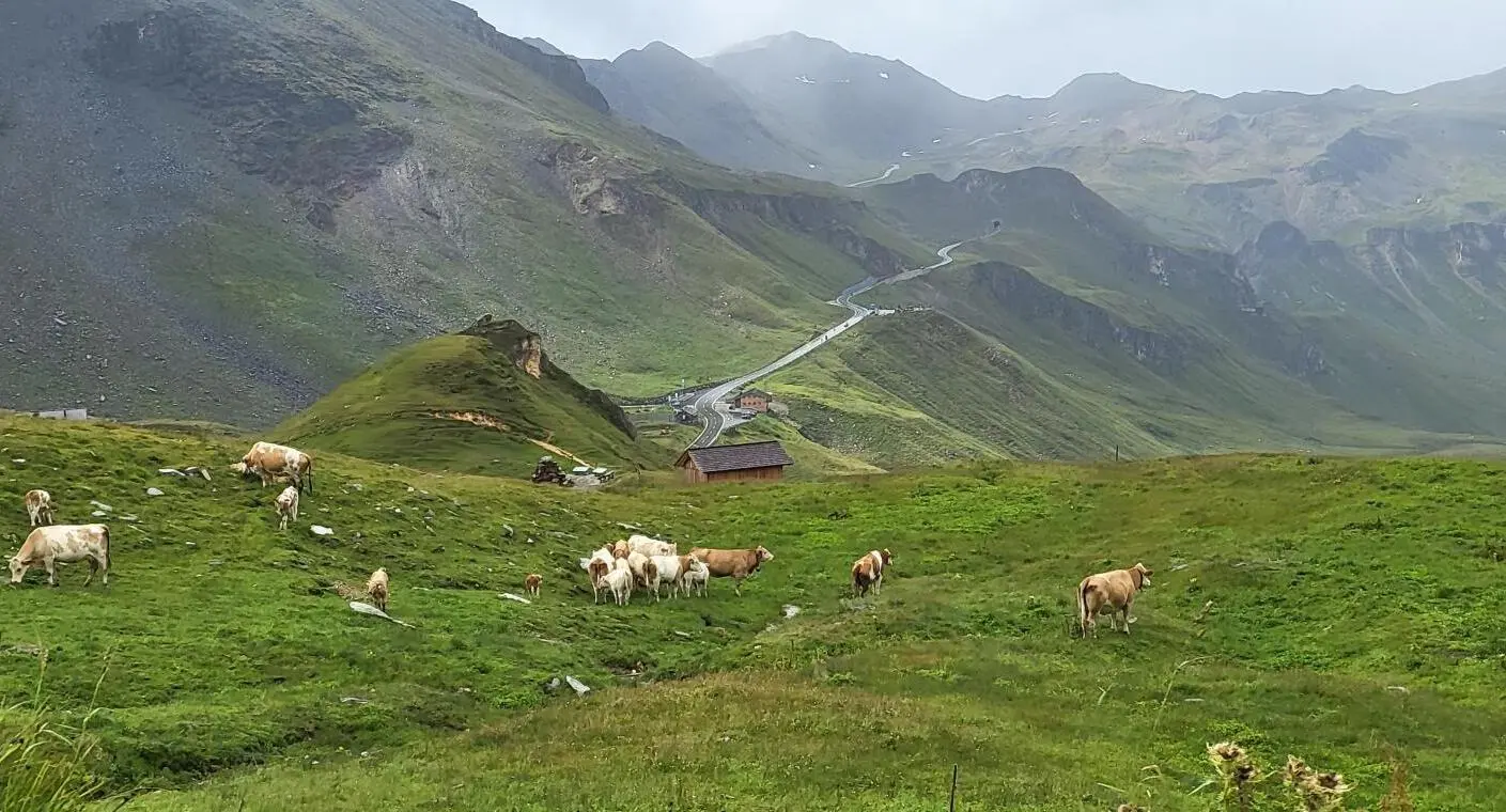
After a few rest stops, you reach Fuscher Torl, at 2428 meters, the first viewpoint towards the Großglockner peak, a memorial site for the workers who died during the construction of the road.
Although we started our journey with sunny and pleasant weather, it changed along the way, with the sun giving way to clouds, rain, and even snowflakes, with the wind enhancing the feeling of cold.
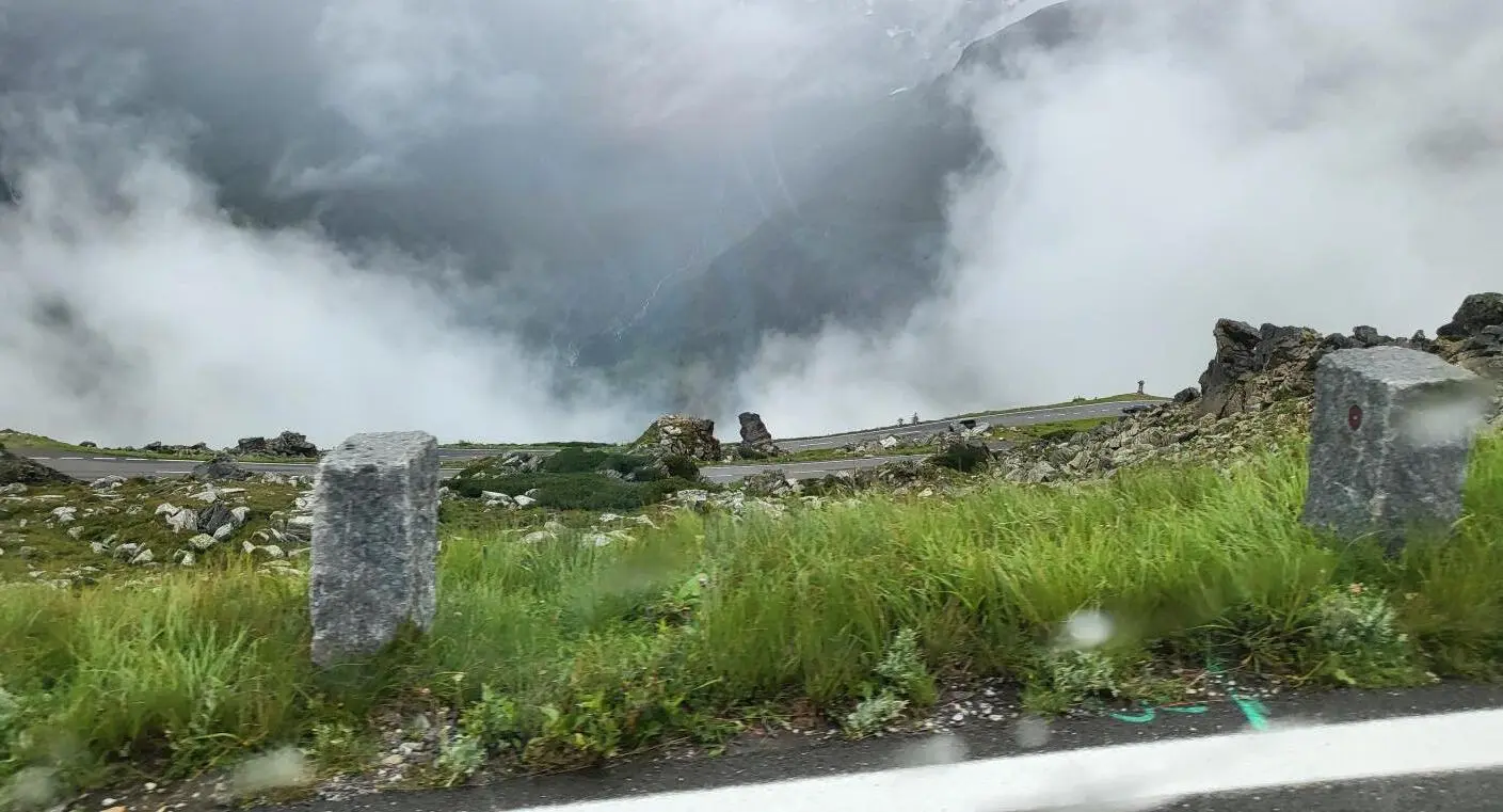
From here, you could reach the Edelweißspitze peak, at 2571 meters in height, on an extension of the main road, but due to the bad weather, we continued our ascent on the alpine road, up to its highest point, Hochtor, at 2405 meters above sea level. We entered the tunnel of the same name, renowned for the fact that the border between the two states, Salzburg and Carinthia, is marked in the middle of it.
From here, we enter the Carinthia region, and the road begins to descend to a roundabout, from where you can opt for a descent towards Heiligenblut or another variant of the alpine road, which climbs towards Kaiser-Franz-Josefs-Höhe and the Pasterze glacier.
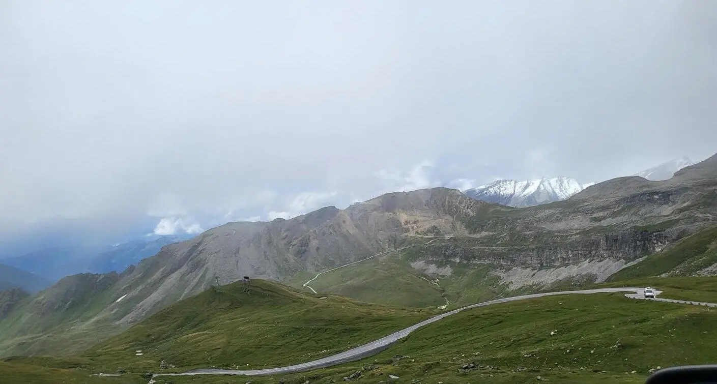
We continued our journey, climbing towards the glacier. We admired the Margaritzen reservoir which stores water from the glacier, passed by the Glocknerhaus cabin, and ascended steeply and continuously until we reached the final point, Kaiser-Franz-Josefs-Höhe, located at 2369 meters.
There is a large, covered, above-ground paid parking area where we parked and stepped out to view the landscape, but the fog did not allow us to see much of the Pasterze glacier or the Grossglockner peak.
In memory of the ascent made by Emperor Franz Josef and Empress Sisi to the glacier, a tourist center has been built at the spot where they rested, named after the emperor.
Those who wish to reach the glacier can opt to descend about 100 meters, in the company of marmots, with the path marked showing how far the glacier extended a few years ago.
We returned via the same route, disappointed that the weather did not allow us to get closer to the glacier, but satisfied that we had nevertheless traversed the alpine road, after spending several days in the area "waiting" for the weather, which seemed reluctant to permit such a journey.
Thank you for reading and make sure to subscribe. We're constantly exploring new destinations and share our stories, tips, and the beauty we discover along the way.


